WHEATLEY HILL · DESIGNER 2.7
MEASURED LAYOUT BETA
Desktop · 480m terrain · 1m LiDAR
Save draft
Export project
Import project
Survey-ground terrain prototype
Orbit: left drag · Pan: right drag · Zoom: scroll
Terrain: unlock + Shift-left drag · Object: click to select
Wall: click two positions · Object preview: click, then Enter
G move · R rotate · S scale · Esc cancel · Enter confirm
Loading 1 m LiDAR heights…
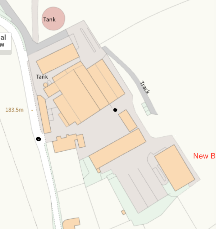
Unregistered visual reference — not geographically aligned yet.
Hide reference